OPENING QUESTION: Please finish up your flight plan from last time
CALENDAR: PLEASE turn in your career assignments... PLEASE!!!!
Some of us still haven't finished that basic career assignment (budget and elevator sp each). Get that done and submitted to our Online Form
WORK O' THE DAY:
Last Friday, our own Ms Grace gave us some guidance in filing an *actual* flight plan today.
You should have done all of these:
- The make and model of the airplane
- Cessna
- Icon
- Beechcraft
- Diamond
- Piper
- Something Else?
- The year the plane was built
- The weight of the plane (empty)
- The weight of the plane (full of fuel)
- The route you'll fly (3 stops minimum) include:
- heading
- speed
- altitude
- weather You'll need to do some research on this. Remember, you are a VFR pilot so you can't fly through clouds
═══════════════════════════
Let's check in on how that went
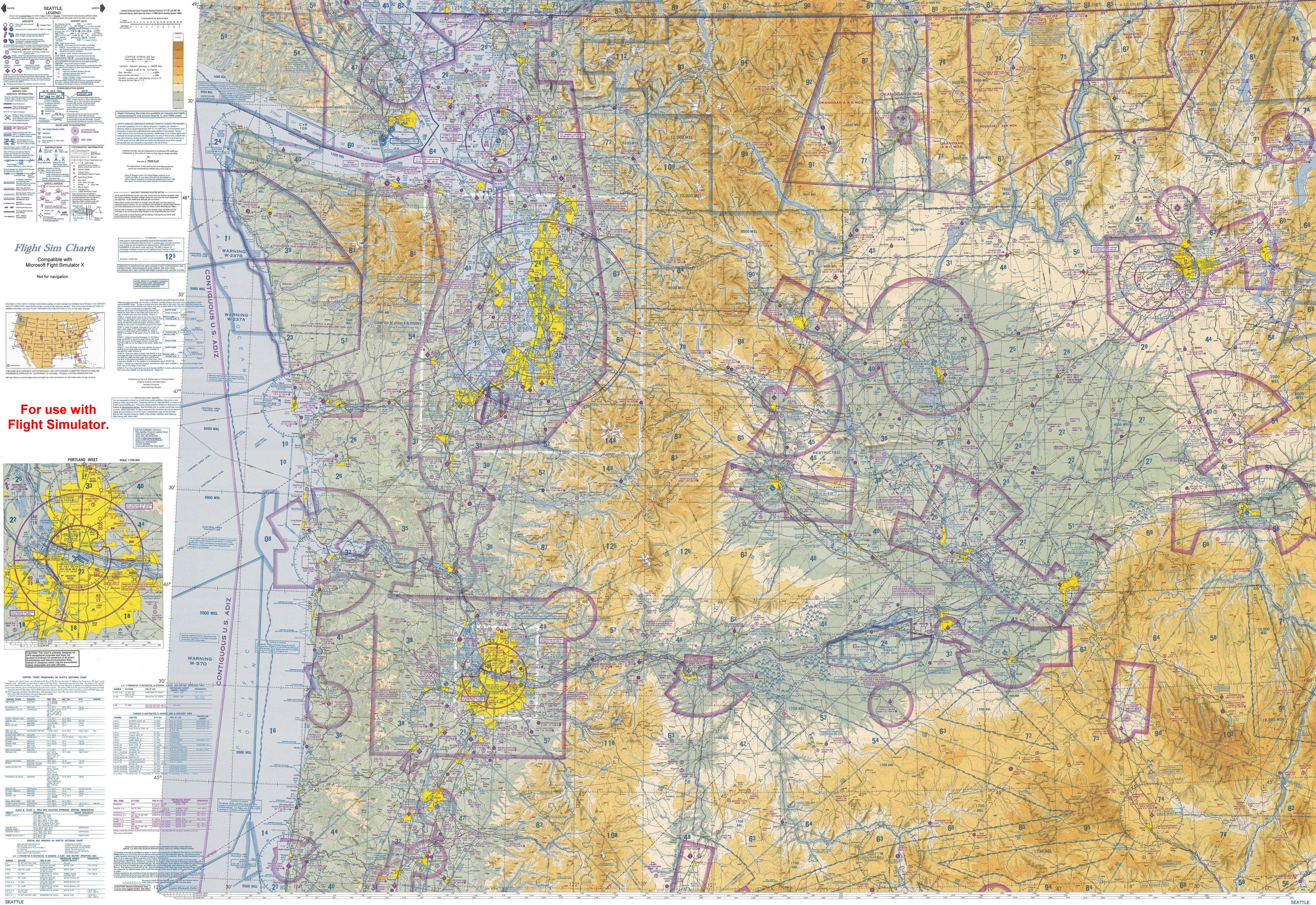
We will need to work with a real, live flight map to find out where we can fly and where we can't.
Last Friday, we didn't worry about the area we were flying over, just how to get from one point to another.
Thinking about our part of the world (Western Washington) in general, and Pierce County/Kitsap County in particular-- where are areas where we should check for flight restrictions? Please converse with your team.
═══════════════════════════
Introducing THIS REALY, REALLY Cool FAA Flight Map (Click on the Map for a LARGER version):